By Faridat Salifu
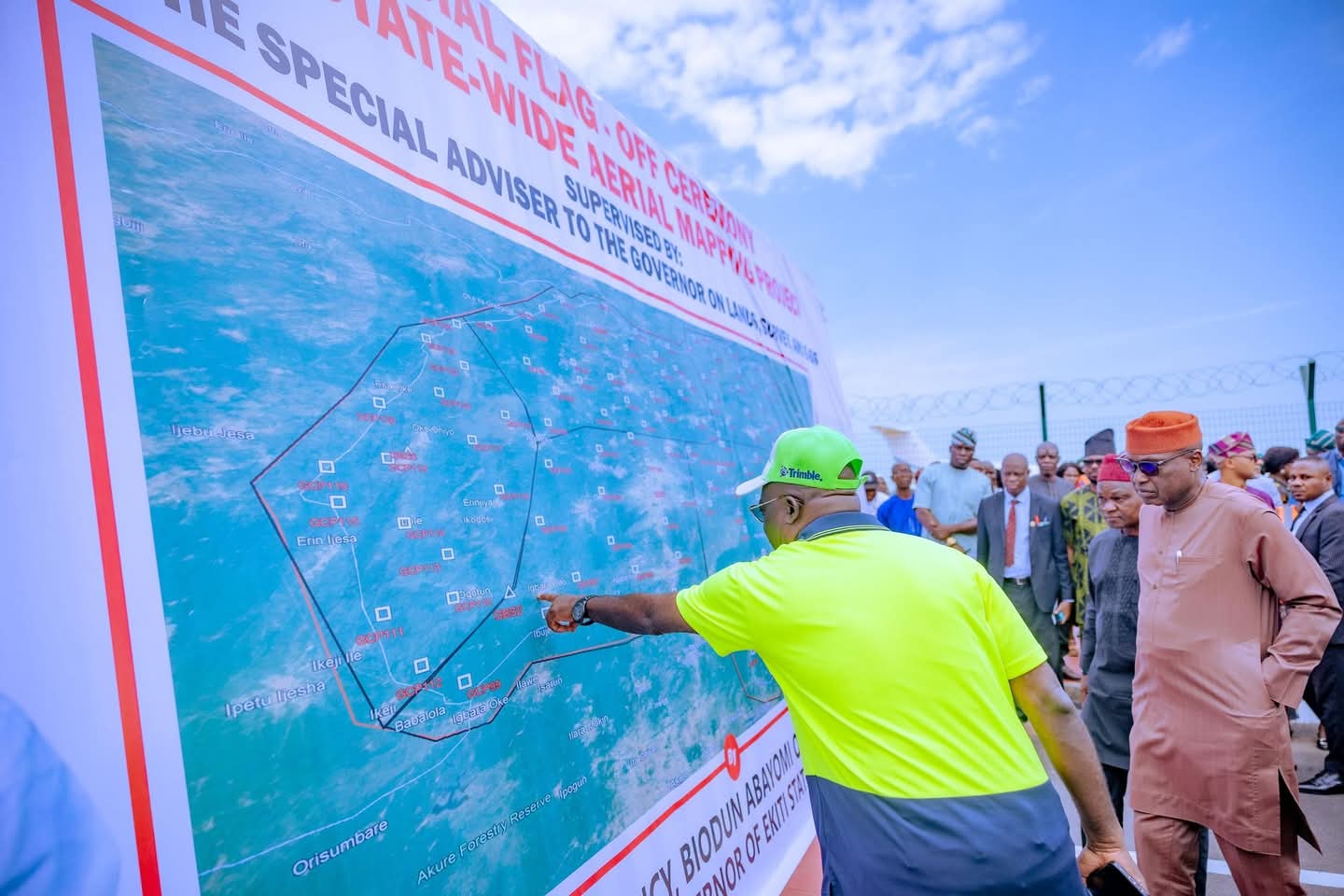
Ekiti State launched a cutting-edge 3d drone aerial mapping exercise last wednesday, marking a significant move towards improving land administration and tackling land-related fraud.
The initiative aims to create a comprehensive geospatial database to support land management, urban planning, and attract investment, while tackling persistent issues like land grabbing and fraudulent land transactions.
Governor Biodun Oyebanji, speaking at the flag-off ceremony held at the Ekiti Agro-allied International Cargo Airport in Ado-Ekiti, described the mapping exercise as a transformative project that will change the landscape of land management in the state.
The governor emphasized that the exercise would not only enhance the government’s planning capacity but also improve service delivery to residents and strengthen the security of property ownership.
“this exercise is a game-changer for ekiti. it will streamline land management, increase transparency, and ensure the security of property ownership,” governor oyebanji said. “we are determined to tackle the persistent problems of land grabbing, and with this project, we will provide accurate land records that will eliminate loopholes often exploited for illegal land dealings.”
The aerial mapping initiative aims to cover the entire state, ensuring that no part of Ekiti’s landmass is left out.
The project, which is expected to take one month to complete, will fly drones at low altitudes to capture detailed 3d images of the terrain, providing a high-resolution, comprehensive view of the state’s land.
prof. james olaleye, special adviser to the governor on lands, survey, and e-gis, highlighted that the project marks the beginning of the modernization of the state’s land administration system.
He explained that the use of advanced geospatial technologies would not only enhance land management and urban planning but also secure land tenures and improve the state’s internally-generated revenue.
“this is the first step toward modernizing land administration in ekiti. we will eliminate the blind search for land, secure land titles, and promote transparency,” prof. olaleye said, noting that the project would ultimately boost the state’s economic development by making it more attractive to both local and foreign investors.
in addition to its focus on land security, the initiative is also expected to support sustainable infrastructure development, enhance service delivery, and provide reliable data for government policies and projects.