Kogi makes contingency plans ahead of flooding

By George George Idowu
Flooding has been one of the major issues affecting Nigeria most especially in a state enclosed with water and as a result of that, the federal government had initiated a committee that will regularly give report of possible states that may likely experience flooding. One among such flood prone states is Kogi.
As of mid-April, NatureNews published a report that was made public by the federal government through the Minister of Water Resources and Sanitation Prof Joseph Utsev. In the report, the minister disclosed of an impending flood across 31 states of the federation including Kogi State which of recent have recorded avoidable casualties through flooding.
Out of the report, a total of 148 local government areas have been deemed as high-risk flood zones. Amongst the states mentioned, the North Central had 5 states of which kogi is among.
Kogi State is located in North Central of Nigeria and was formed in 1991 from parts of Kwara and Benue States. It is known for its diverse geography, including river plains, forested areas, and hills.
Lokoja, the state capital is situated at the confluence of the Niger and Benue rivers. Kogi has a mix of ethnic groups, including Igala, Ebira, and Okun people. The state shares boundaries with a total of nine states in the country, including the Federal Capital Territory (FCT) Abuja.
The state is agriculturally rich, producing crops like yams, cassava, rice, and cocoa. It also has mineral resources such as coal, limestone, and iron ore. Lokoja, the capital, is historically significant as it was the first administrative centre of British colonial rule in Northern Nigeria.
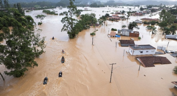
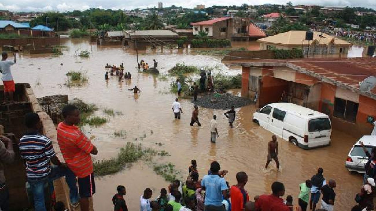
In the past couple of years, Kogi State has experienced recurring flooding over the years, particularly during the rainy season. The severity of flooding can vary from year to year, depending on rainfall patterns and other environmental factors.
Significant flooding incidents have been recorded in Kogi State dating back several decades, with notable occurrences in recent years, such as in 2012 and subsequent years.

Floods in Kogi State are often linked to the overflow of the Niger and Benue rivers, which converge near the state capital, Lokoja, making the area susceptible to inundation during periods of heavy rainfall.
Flood management and mitigation efforts are ongoing to address this recurring challenge and minimize its impact on communities in the state.
Within a decade, Kogi was hit by huge flooding twice, in 2012 and 2022. Thousands of people were reportedly displaced, including houses and lands submerged under water.
According to the National Emergency Management Agency (NEMA), in Nigeria, 623,900 people were displaced, and 152,575 hectares of farmland were destroyed in 2012.
Also, in 2022, flooding affected over 514 communities, displacing 471,000 persons with 24 deaths recorded.
In September 2020, the Niger River overflowed, displacing more than 50,000 people in Kogi State.
This event affected 66 communities and resulted in one confirmed death. Official reports indicated that nearly 50,000 individuals had to find temporary shelter in schools and other public buildings.
While others resorted to sleeping on roads and in open spaces. The 2020 devastating floods caused many victims to lose their livelihoods, as agricultural farmlands, market stalls, and livestock were washed away.
As of that time, residents living in riverine communities in Lokoja confirmed to reporters that flooding is an annual occurrence, and efforts put in place by the government to mitigate the crisis are not sustainable.
Checks by NatureNews indicated that the government has received an allocation of N234.21 million in three years to erosion control and ecological funds received by the state through the Federal Government’s monthly allocation, (Kogi State Government 2023 Approved Budget – Expenditure by Economic Classification).
Since the inception of the new commissioner of environment in Kogi State Engr. Joseph Olusegun he has set out plans to tackle the issue of erosion by cleaning of drainages, amongst others.
Olusegun initiated a cleanup drainage campaign in March.
He said the initiative is aimed at curtaining the issue of erosion and flood ravaging the state.
Still in preparation for the upcoming raining season, the Federal Government has inaugurated a N420 million 625metres canal constructed by the National-Hydroelectric Power Producing Areas Development Commission (N-HYPPADEC) in Koton KarfeKogi State.
According to the Managing Director, N-HYPPADEC, Abubakar Yelwa, said that the canal spans a total length of 625metres, comprised of various components and an integrated line stretching 499.5 metres, complemented by an earth drain of 125.5 metres.
“Intersecting those drains are four double cell culverts, strategically placed to facilitate water flow toward preventing flood in communities,” he said.
According to the director, the project is a comprehensive flood control solution to address the recurrent floods plaguing Koton Karfe, which is a prone flood area of the state.
Just recently, Nigeria’s Minister of State for Water Resources and Sanitation, Hon. Bello Muhammad Goronyo disclosed that the report of the National Economic Council (NEC) Ad-hoc Committee’s Technical Working Group on flood, erosion, drought, and desertification is now ready.
The Minister of State, who made this announcement, said the Committee’s recommendations are unique and comprehensive in nature, addressing not only floods but also drought, desertification, and erosion control.
According to the minister, if the recommendations are properly and well implemented, Nigeria and not just flood prone state will overcome the challenges.
Olusegun and other relevant stakeholders have urged individuals living around the riverbanks area of the state to ensure they find a suitable place to move to in order for them not to be affected by the impeding flooding.
